We use a drone mapping software named WebODM that can export a large georeferenced image as a single KMZ. The KMZ created by this software is integrating tiled PNG of different levels as KML Ground Overlays.
The KMZ only contains a single Network Link that points to the first level KML. This KML contains 1 Ground Overlay and 4 Network Links :
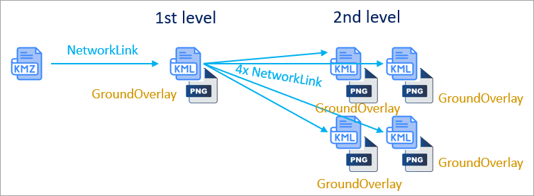
The process is repeated for every level. At the last level, the KML only contain 1 Ground Overlay and no Network Link.
This kind of file can be used in Google Earth EC. Even if the file is very large (e.g. 200 Mo), it loads quickly thanks to the use of <Region> and <Lod> tags.
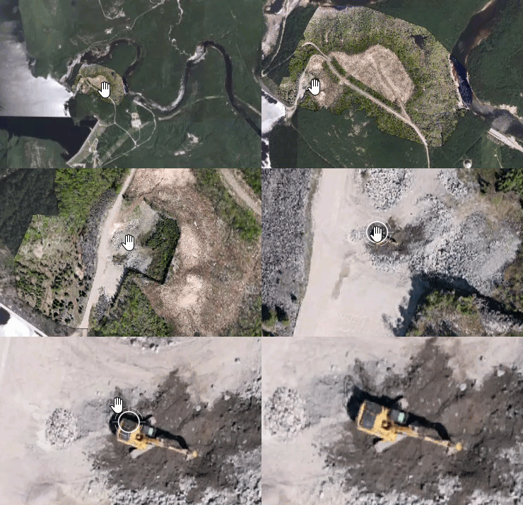
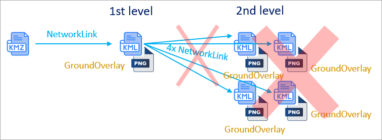
But this kind of KMZ doesn’t load entirely in ArcGIS Earth. In fact, only the first level is loaded.
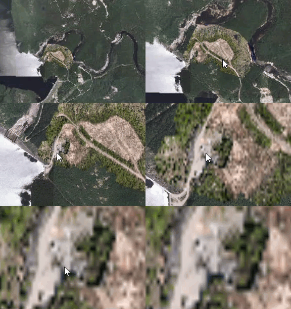
The result is a heavily pixelated image that cannot be used :
Could a next release of ArcGIS Earth be able to open this kind of nested Network Links ?
A PPTX file with more information is attached to this post. PDF files show the structure of the KMZ and a KML example (coordinates were removed).
Thank you !


