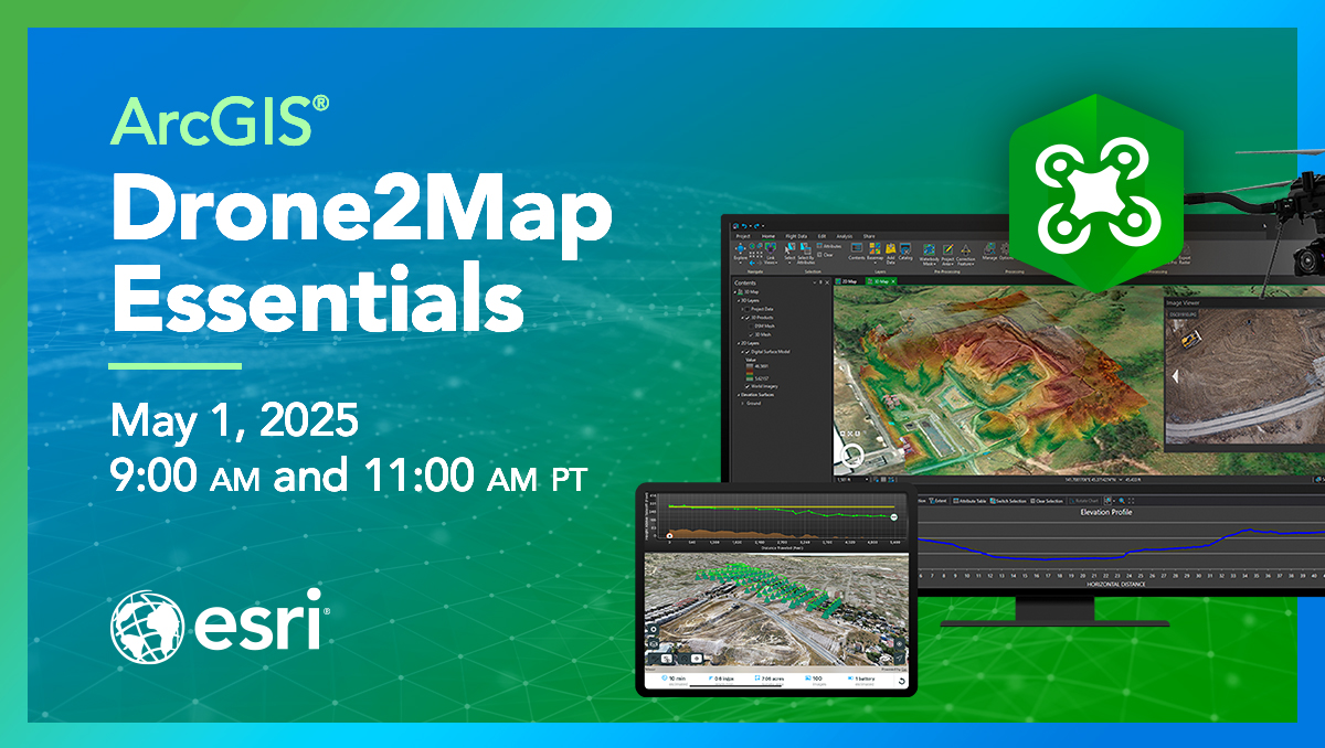
Whether you are a student or young professional, ArcGIS Drone2Map is a valuable tool to know. Helping you create 2D and 3D maps, experience with this tool is valuable to employers. Many industries emphasize using drone-captured imagery as it can be low-cost and used in hazardous areas. Esri Academy's next live training seminar will provide overview of the latest ArcGIS Drone2Map capabilities and workflows to add, process, and analyze droned-captured imagery for spatial accuracy.
This seminar should help you:
- Apply best practices to add and process drone-captured imagery within an ArcGIS Drone2Map project.
- Work with processed imagery in ArcGIS to seamlessly visualize and analyze an area of interest, gain insights, and create 2D and 3D products.
- Assess the accuracy of derived 2D and 3D products.
Register →
Seminar Details:
Two, one-hour sessions will be broadcast live, and each session includes demos and Q&A with the presenters. You can view more details and get a calendar reminder at the link below.
- Name: ArcGIS Drone2Map Essentials
- Date: May 1, 2025
- Time: 9:00 a.m. and 11:00 a.m. Pacific time
- Location: Online at Esri Academy
- Cost: $0 (No-cost)
Register Today →
