Make it so rotated point labels utilize the Offset, Best Position functionality.
Here, I'm labeling with Offset, Best Position:

There are 3 labels dropped, and I can't easily tell which label goes with which point.
Here I tried angling the labels by attribute (45 degrees), using Offset, Best Position.

Better, but they're all labeling to the Northeast, and dropping the label when they don't fit. Seems like a bug.
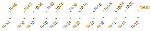
If angled lables would use the Best Position functionality, they'd look like this:
So, that would be good. But the best option yet would be to make rotating point labels a Fitting Strategy option (like what is offered for polygon labels):