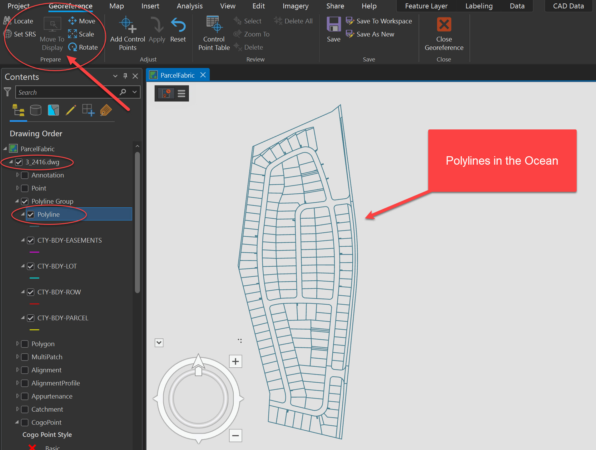
What am I doing wrong??
I am using ArcGIS Pro 3.1.3 and attempting to georeference CAD files with a Parcel Fabric version 5. This is a prototype Parcel Fabric and we are currently 'experimenting' and practicing on local drives.
https://pro.arcgis.com/en/pro-app/3.1/help/data/cad/georeferencing-cad-data.htm
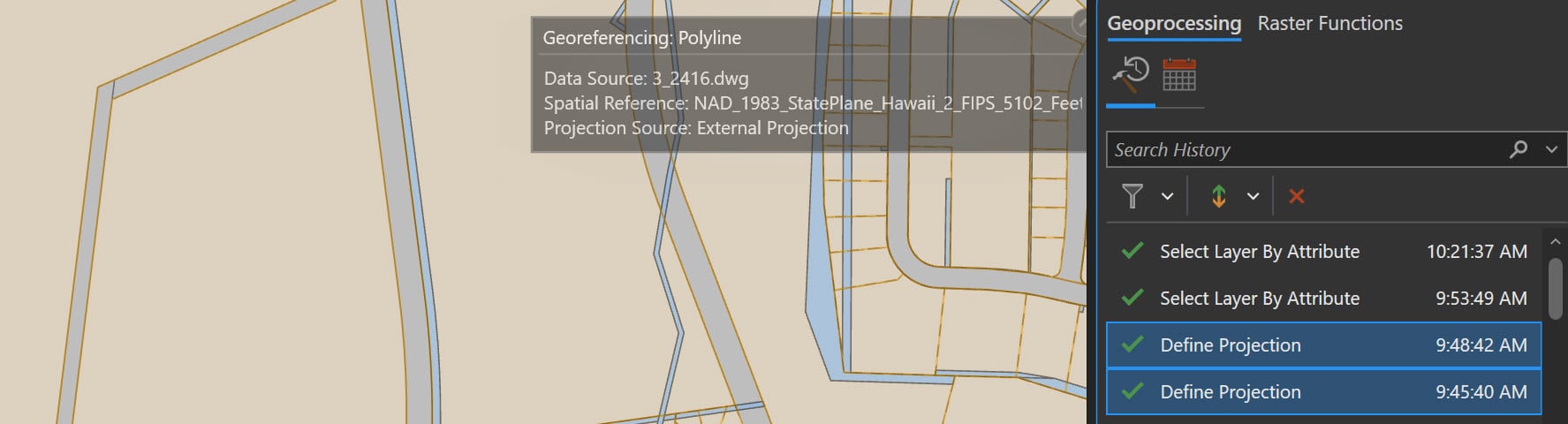
The .dwg was delivered with no spatial reference, so the Polylines for importing into the parcel fabric were given a projection via the Define Projection tool. As soon as that was complete, the CAD Data tab appeared as expected. However, the Move to Display command is greyed out.