Hi,
I am trying to symbolize a USGS DEM elevation raster into 2 classes: Values above 100 and values below 100.
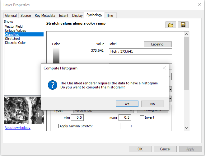
In ArcMap, I have no trouble doing this. I open the raster properties and click "Classified". I answer "yes" to the question about computing a histogram:
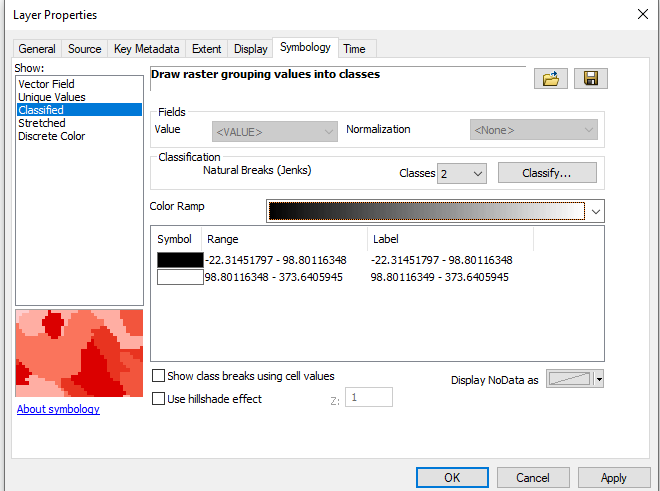
No problem there.
However if I try to do this in ArcPro 2.3.1 on the same exact raster, it won't work
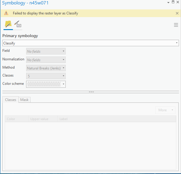
What am I doing wrong?
Thank you for the help!







