Good morning everybody!
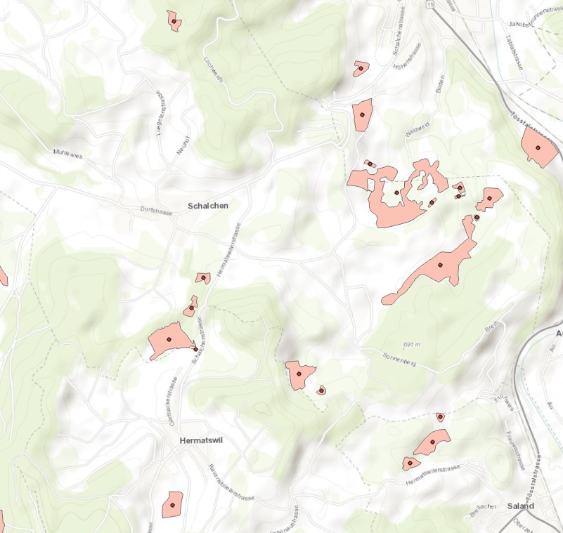
I'm currently working on a small GIS-Project regarding Network-Analysis. First I wanted to develop a network between certain wetland areas. I have created a point feature class in the centre of each wetland polygon. Now i try to connect these points with lines to create a network I can work with. Is there a tool that is able to connect each point feature with other point featues in a distance of 1300 Meters through a line?
In a next step I would like to adapt the distance regarding ecological and topographical information, through a cost-distance or multi-criteria analysis. Would this tool from step one be able to integrate such a cost-distance analysis and only connect point features within an adapted distance?
I'm really new to this with little expirience and grateful for any support  !
!
Thank you in advance for your help 😃

