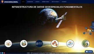
The Instituto Geográfico Nacional, the country's official entity in the generation of fundamental geospatial information; consistent with state modernization policies, has implemented the Fundamental Geospatial Data Infrastructure of the country. The IDEP has a geospatial information database that complies with ISO TC211 geographic and geometric information standards, as a metadata management platform and the geoportal as an output medium. Through this platform, all geospatial information produced in raster and vector format under established protocols such as WMS, WFS, WCS, among others, is made available to users.<\/SPAN><\/P>
 <\/SPAN><\/P>
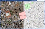
The Geoportal has been developed using the ArcGIS platform, as one of the geotechnological tools that guarantees and provides users (citizens, technicians and/or managers) timely access to a series of resources, applications, geoviewers, and geospatial information services. All of them can download, view, perform geoprocesses, create and save projects, print, among other tasks. To perform these operations, the geoviewer implemented from Web AppBuilder for ArcGIS allows users to access all information through any device using standard browsers, as well as access available resources from institutions and organizations that provide thematic geospatial information.<\/SPAN><\/SPAN><\/P>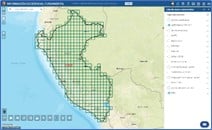
 <\/SPAN><\/P>
To date, so far this year, a total of 7,198 visits have been reported, of which 85% are users from Peru and the rest from other parts of the world. The openness and easy access to information is a response to the different demands of technical and executive users who access the geoportal.<\/SPAN><\/P>
 <\/SPAN><\/P>
The IGN seeks to share geospatial information benefiting users and organizations in generating value from data and improving its coordination with other public entities in the country that generate spatial data. In this way, spaces for innovation and opportunities are created that ensure access to necessary and valuable information for timely decision-making within the framework of sustainable territorial development.<\/SPAN><\/P>
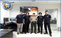 <\/SPAN><\/P> <\/SPAN><\/P>NATIONAL GEOGRAPHIC INSTITUTE<\/SPAN><\/P>Eng Reynaldo Flores Rivero and CIDE Development Team<\/SPAN><\/P>OEINFO-Center for Fundamental Geospatial Data Infrastructure| www.ign.gob.pe / www.idep.gob.pe / Contact: <\/SPAN>idep@ign.gob.pe<\/A> | Address: Av. Aramburú 1184 Lima<\/SPAN><\/SPAN><\/P><\/BODY><\/HTML>
