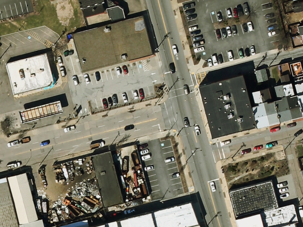
I have a very high resolution map(tif) i.e. drone image as shown in the image.
Is there any way we could extract features including building and road etc. from high resolution image.
Please help me out regarding this. I would be thankful to you for this.