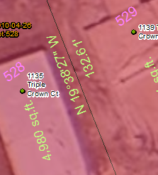
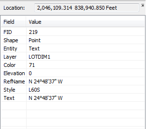
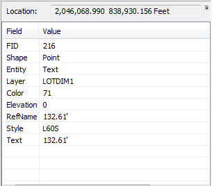
I am trying to think of a clever way to separate this CAD information depicted below. Both the distance and the bearing are within the same layer and have almost identical attributes. I am trying to think of a way to separate one from another so I can convert the CAD annotation to geodatabase and not have to worry about going through and manually deleting each of the undesired bearing annotation. Please see the illustrations below for examples. I am using ArcMap 10.2.2, 64 bit Windows 7 SP1 machine, SQL-server. Any and all suggestions are welcome!