Hello,
I am trying to add some point data to my map the coordinates are in a valid format. Each time I try to convert the .csv file data using the display x/y data I get this error
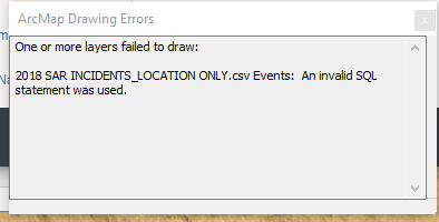
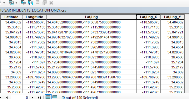
I have tried using the first two columns and the last two columns as my input data.
The "Event" is created in the TOC but the attribute table has no data in any of the fields. I have another map I created using similar data and my point conversion and resulting table was populated and the points displayed properly.
What am I missing?
Projected Coordinate System:
Name: NAD_1983_StatePlane_Arizona_Central_FIPS_0202_Feet_Intl
Geographic Coordinate System:
Name: GCS_North_American_1983
thanks for any suggestions or help


