I couldn't find this posted anywhere. Is there a way to obtain the PLSS (Public Land Survey System) line styles and such that the USGS uses? I'm mostly referring to this document of topographic symbols:
https://pubs.usgs.gov/gip/TopographicMapSymbols/topomapsymbols.pdf
Small example:
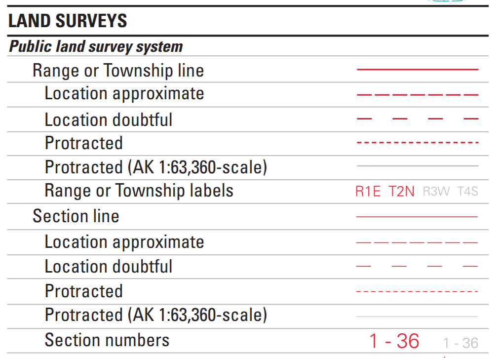
I mainly want to symbolize the Township and Range lines along with sections, quarter sections, and quarter quarter sections (40 acre lines). In ArcGIS Pro 2.3.1
Tagging Curtis Price PLSS Editing Federal



