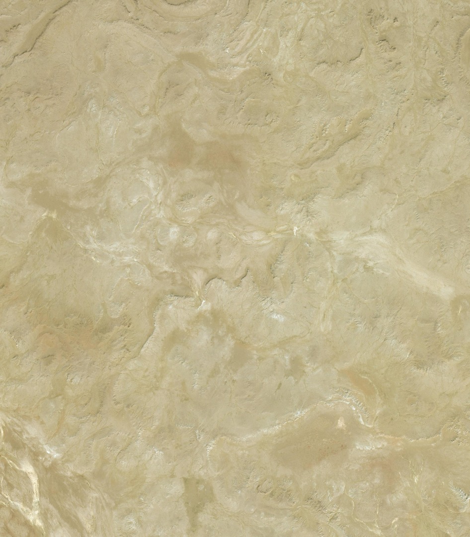
I am using the import data wizard feature capturing esri's DEM and satellite imagery and it comes back with the correct DEM but the incorrect satellite imagery.
The target site is in Oakland CA but comes back with a satellite image of the desert. Not sure if this is a known bug or I'm not using the wizard correctly.
I am using CityEngine 2017.
Thank you