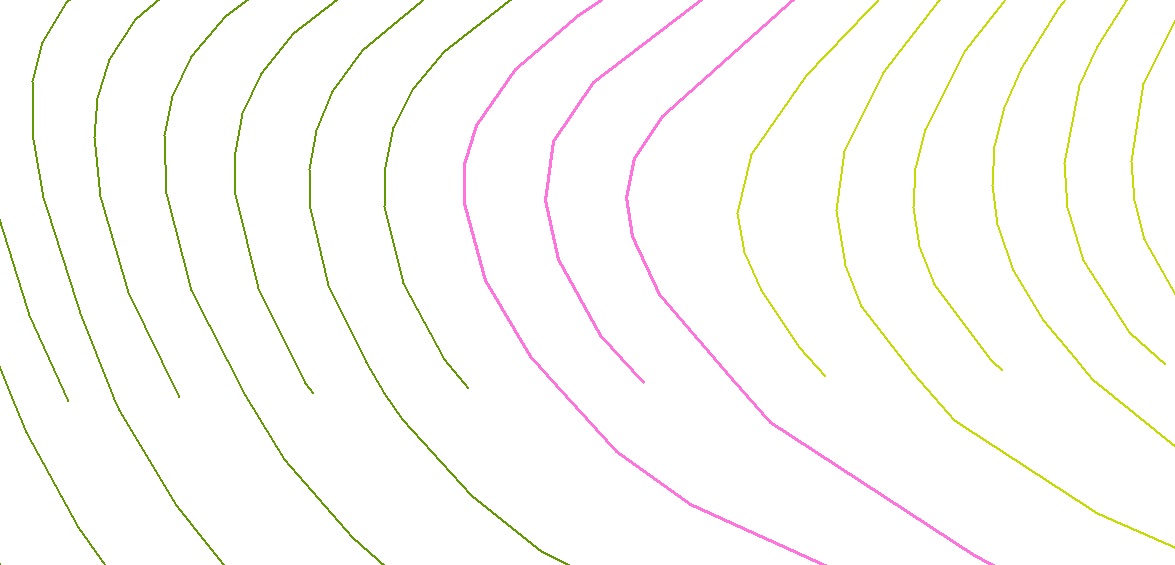
I have some elevation data as contour lines but there are places where the contours just stop. I've been reading about interpolation but they all start with points, is there any interpolation method that I can do using the existing contour lines? Thanks!