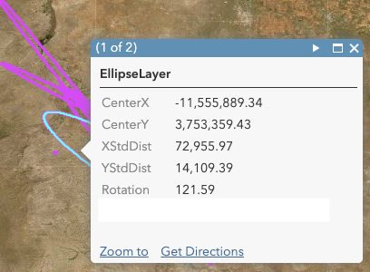
When I run the ArcGIS Online analysis tool "Summarize Center and Dispersion" it creates an ellipse layer that looks pretty good... but instead of having latitude and longitude, it has fields "centerX" and "centerY" ... which are numbers that don't make sense. I'm not sure what the units are, and exactly what they mean?
See the screenshot for example: