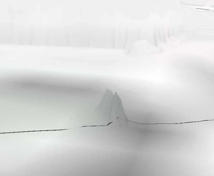
I have a high resolution DEM scanned from mobile LiDAR. From this I need to create 3D curbs. The problem is, where the curbs are, there are peaks of data (Could have been a small bush, car, bug) After some research, the Fill tool seemed to be the most promising. I ran it, but my DEM never seemed to change:
Orginal DEM:
After running Fill:
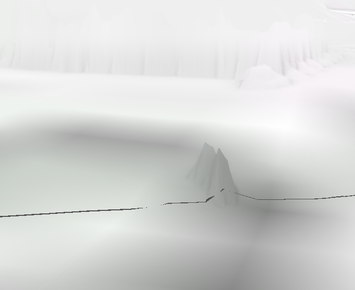
As you can see they are pretty much identical. I ran the Fill tool with Z values left blank, and with Z values filled it. Both ways kept the data the same. The Filled DEM and the Original both have the same elevation.
Am I running the tool wrong? What would be the best way to remove the peaks and smooth out the DEM?


