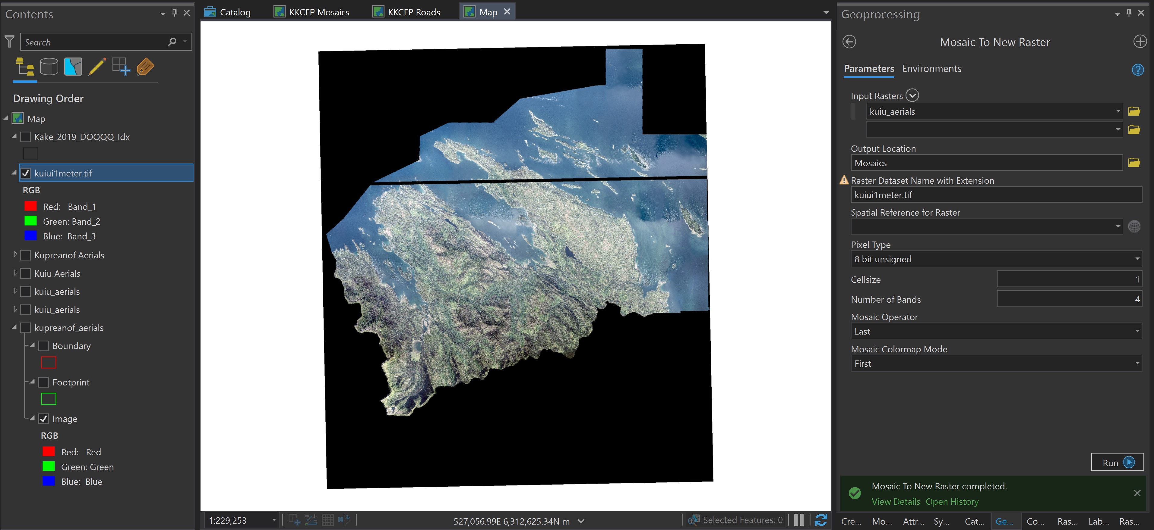
Hi, I have 50 aerials images (.tif, 4 band, 8 bit unsigned, 30cm). I created a mosaic dataset to display them. Then I use the mosaic to new raster tool to create a raster that I can run a supervised image classification on. I have been unable to get the new raster to come together correctly. I have tried many different settings and the result always includes areas that are black, no data or 0,0,0 areas. These areas display as having data when I load the image tiles individually but I must admit I can't seem to get the display of the mosaic dataset to work very well either.
- build overviews or no?
- build pyramids or no? How many levels?
- what about statistics?
I have hunted for straightforward guidance on 4 band .tifs but have had no luck so have been running the trial and error gamut and have yet to get the mosaic or new raster from mosaic to display well at a range of full extent down to 1:5000.
What parameters should I be focusing on in troubleshooting this?