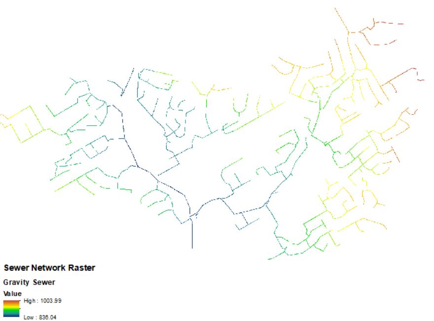
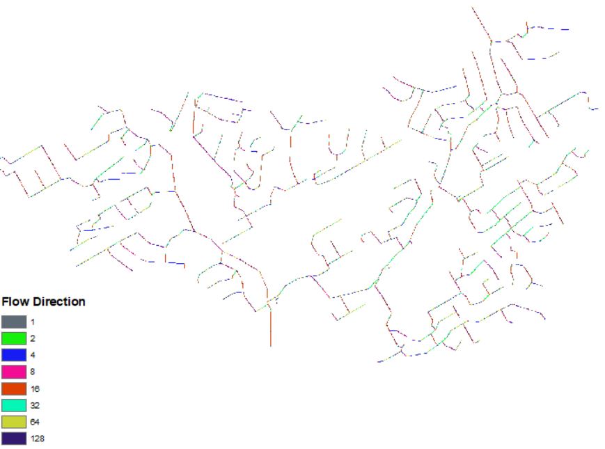
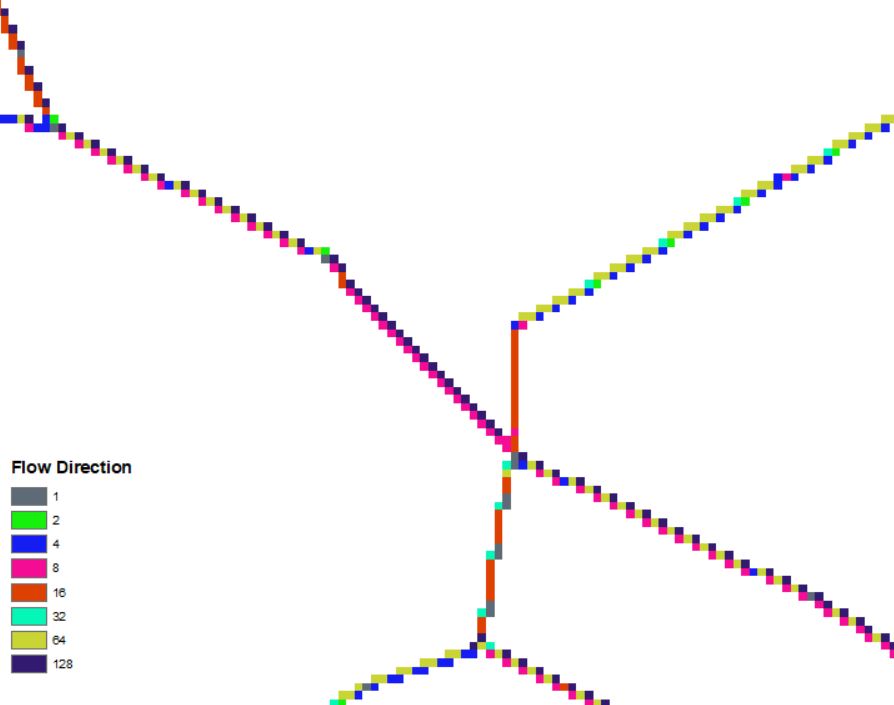
I am working on a sewer analysis project for school/work and I am trying to order the sewer network using the stream order networking tool but I am getting very confusing results. I can create a raster grid for the sewer network; however, I cannot create an accurate flow direction raster. The values for flow direction do not make sense to me. I have some screenshots below that show the results.
If anyone has any experience with these tools and can provide some feedback it would be greatly appreciated.