Hi all
I have points data which represent infected palms in block plantation. I want to analyze whether the infected palms are random, dispersed, or dispersed distribution.
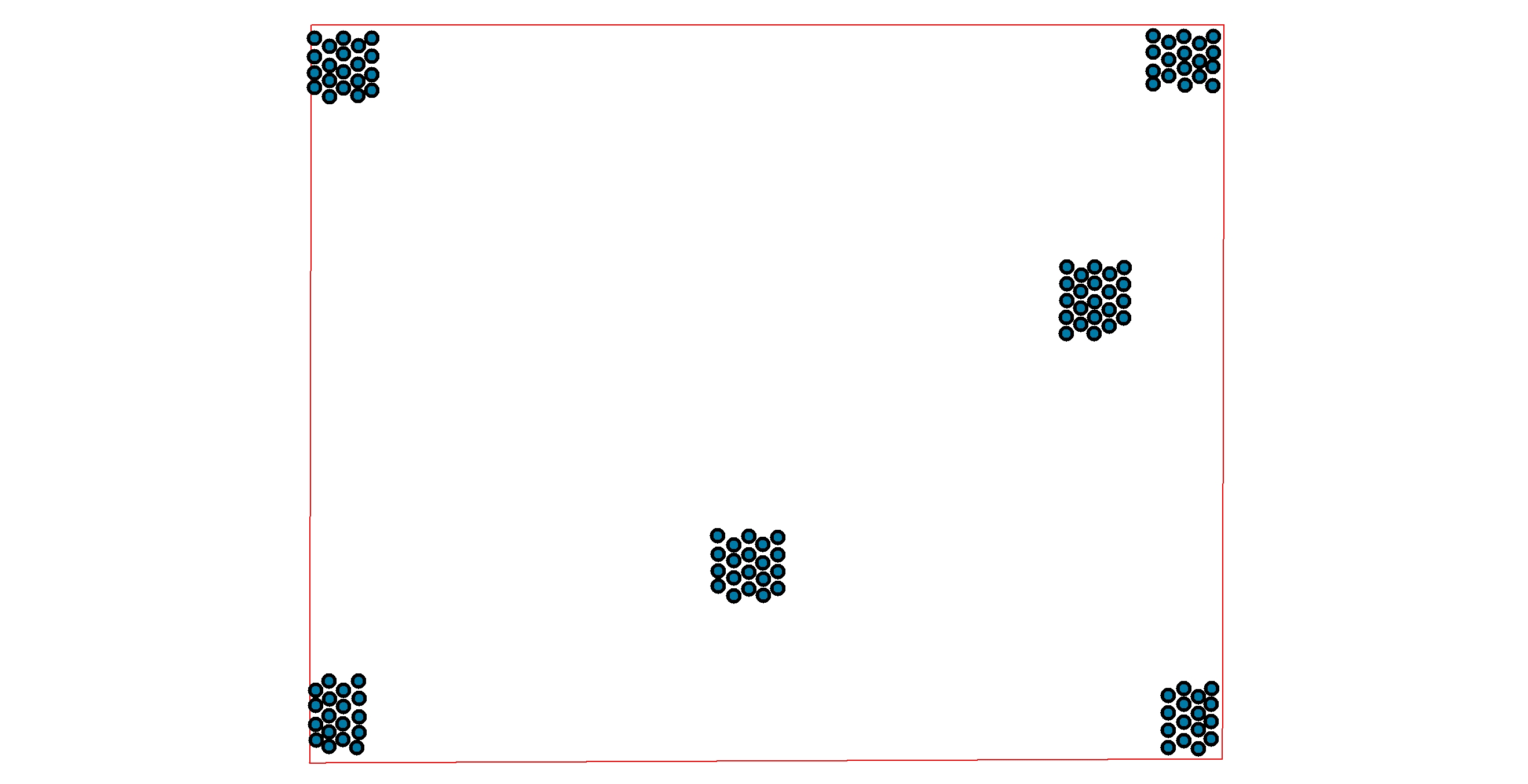
I thought the extension of spatial statistic in ArcInfo could help me to measure the distribution. But I doubt the result, when I creating dummy data (clearly clustered distribution) and I execute with Average Nearest Neighbor tools, the result is at dispersed distribution!
I attach my dummy data here.
If anyone could give me suggestion, it would be appreciated.
Thanks
-anggi