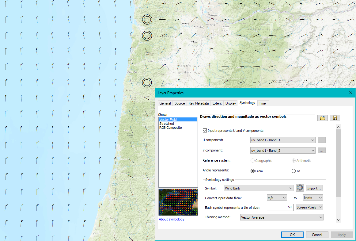
I have been using the "Vector Field" option for displaying wind barbs from raster data representing the U,V components of wind speed. I'm pretty happy with that in Pro or ArcMap, since it works with the data I have, so I don't have to convert it to vector data. Here is the methodology I'm using.
Drawing raster data using vector symbols—Help | ArcGIS for Desktop
I was wondering if anyone has had any luck doing something like this in ArcGIS Online?