A few days ago I posted Transformation from StatePlane NAD83 to WGS84 ; I ended up contacting tech support and they pointed me an on line doc that specifies which transformation option to use here in the lower 48.
My original confusion stemmed from a couple conversations with colleagues who just said: "I use the default when I project"
When you use the project tool, it does indeed provide a default transformation:
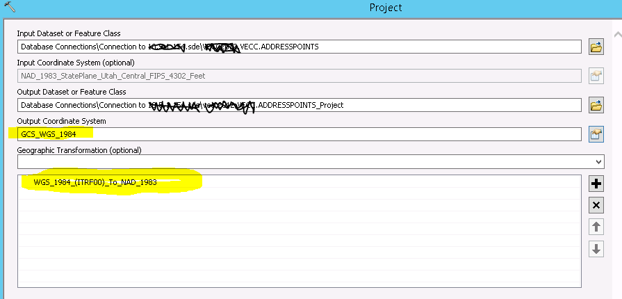
I read the default as wgs84 to nad83, not nad83 to wgs84.....
However, when you use a geoprocessing tool you can set your Output Coordinates Environment Setting. There is no default provided. I don't see the the one highlighted above in the pick list, only the ones mentioned in the tech paper sited in my earlier post:
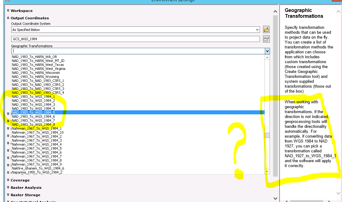
So at this point I'm right back to my earlier confused state....


