ArcGIS Online was updated on in November 2026, and National Geographic MapMaker picked up several new features with it. MapMaker is built on the ArcGIS Atlas Instant App, so the changes are already live. There is nothing to install or switch on.
Here is what you and your students will see next time you open MapMaker.
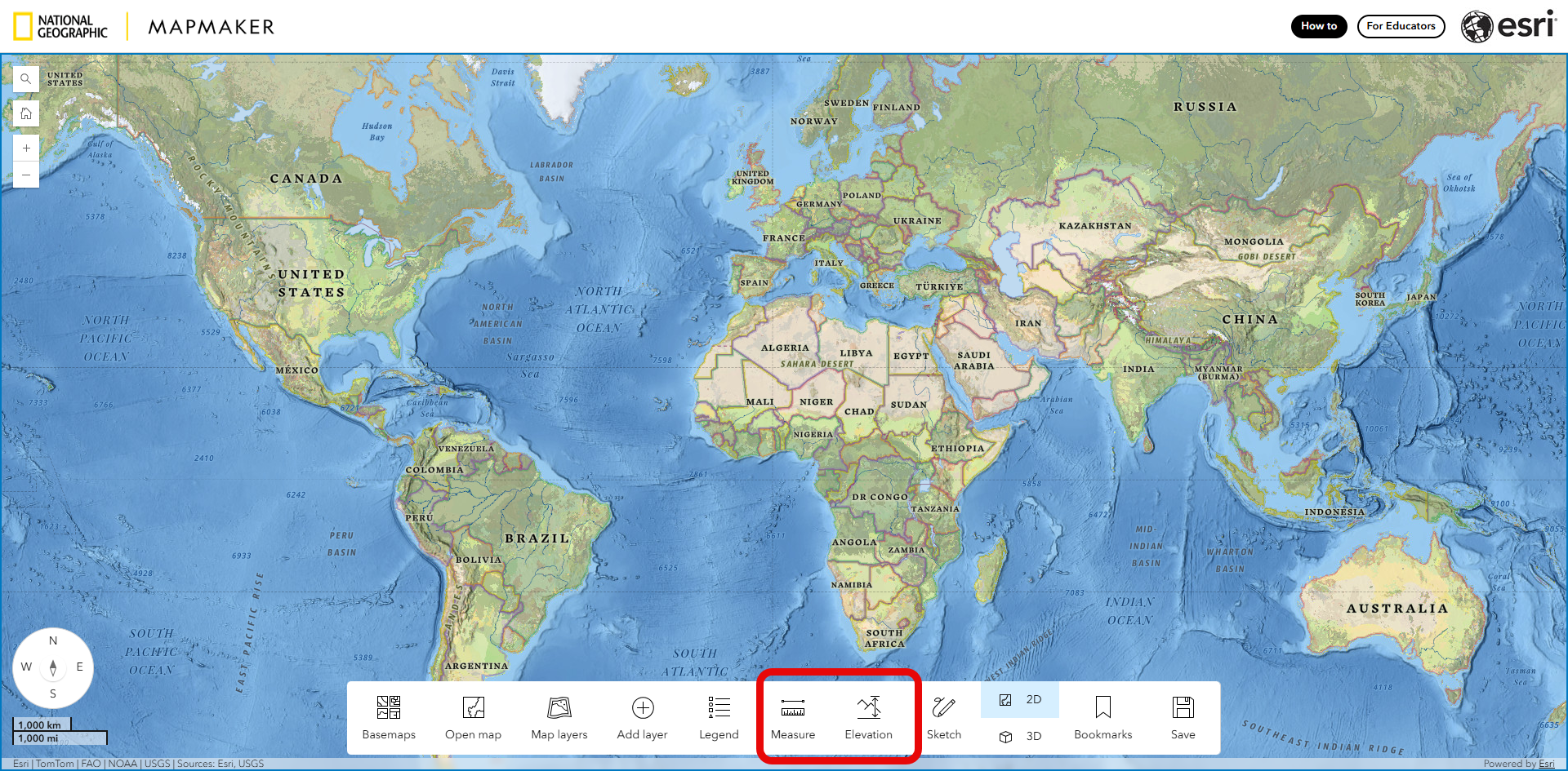
Measure and Elevation get their own buttons
The biggest change is in the toolbar at the bottom of the map. Measure and Elevation profile now each have their own button, so students can open them in one click.
A few ways students might use them:
- Measure the distance between two cities, or the area of a national park or a lake.
- Draw an elevation profile across a mountain range, a river valley or a volcano, and compare the shape of the land.
Easier browsing in Open map and Add layer
In both Open map and Add layer, the categories now start collapsed, so you can see the whole list of categories at once. Each category also shows how many items it holds.
This makes it quicker to find the topic you want before opening it up.

Search and clear the layer list
- Search layers: when a map has lots of layers, students can type in the layer list to find the one they need.
- Clear all layers: one click removes every layer, giving an empty map to start a new exploration.
- Remove a layer: the remove button is now an x in a circle rather than a trash can.

Charts and more than one table
- Charts: where charts have been saved as part of a web map, students can now view those charts alongside the data. Maps without saved charts won’t show any.
- Several attribute tables: students can open more than one attribute table at a time, each in its own tab. This can help when comparing the data behind two or more layers.
- Attribute table can now expand to full screen: You now have better control over how much how the attribute table is displayed with the addition of a full screen expand button.

A clearer time player
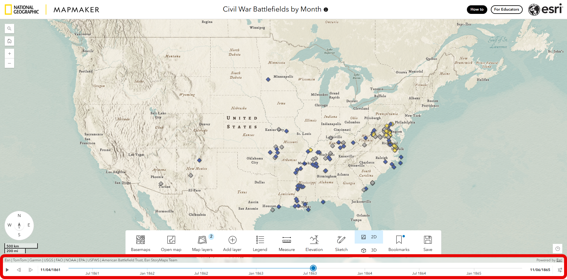
Maps that change over time have a new, simpler time player along the bottom of the map, with play and step buttons and a clearly dated timeline. In the Civil War Battlefields by Month map, students can press play to watch battles appear from 1861 to 1865, or step through one month at a time.
A steadier compass
Following feedback, the N, E, S and W letters on the compass rose no longer rotate the map when clicked, so a stray click won’t turn the map on its side. If students rotate the map themselves (right-click and drag on a computer, or a two-finger twist on a tablet), clicking the centre of the compass brings it back to north.
Try it out
Open MapMaker to try the new features. We’d love to hear how they work in your classroom, so share your thoughts in the comments below.
