I sent this out to my Advantage Programs and the wonderful Marjorie at Orlando watched it and shared that it was very informative. So, based on Marjorie's feedback, I thought I would post here in the Airport site of the Esri Community. (I hope you're subscribed!)
David R. and Michael D. from Esri host this hour-long learning session and cover many of the topics our domestic airport customers are asking about. About 75% of the time is focused around an airport use case and how to bring in CAD and BIM data from AutoDesk, Civil 3D and more into ArcGIS. Lots of focus on best practices for georeferencing that data (probably our number one question).
But I also liked how they brought in other data from CAD BIM into the map and how they shared collected data (via Field Maps) and the Living Atlas into AutoDesk.
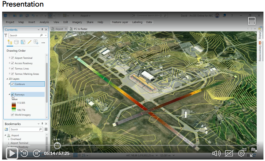
It's public until March 8th, but if you have an ArcGIS account you should be able access it after that.
Link to the Esri Academy and this course is HERE.
If this interests you and you want to learn more, consider the two-day instructor led course called "Get Started with CAD Data in ArcGIS". Link
