I am working on some public works project data and when I have a location that is not registered to an address (say in the middle of a road), I added a section to the survey where you can plot a point using the little flag symbol, so users can scroll to the area and drop the pin, but if I do this, it just drops the point somewhere random (not always at 0,0 oddly) or not on the map at all.
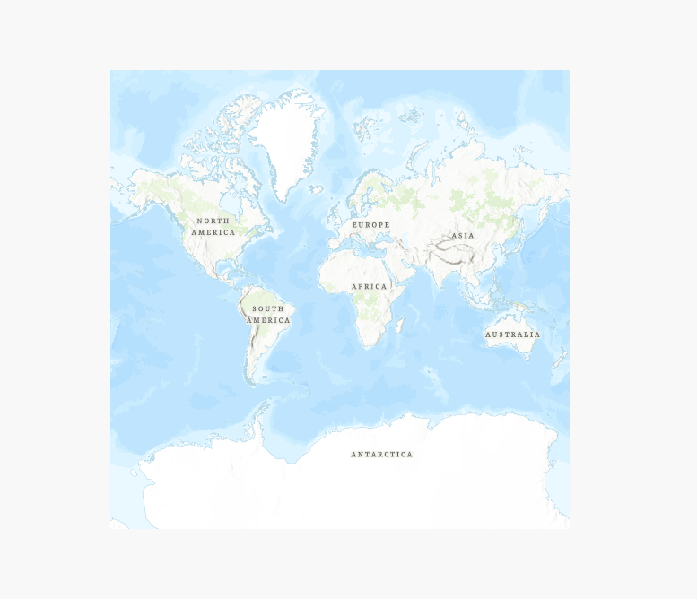
There are six carefully placed dropped pins on this map... the entries with addresses input as text in the address box work fine and show up as red dots. Manual mapped points show me only this when I say zoom to selection...
We can't always use nearest assigned address.
Anyone found a workaround for this?

