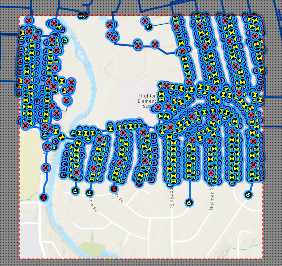
Hi, using the 200.5 SDK, we created and downloaded an ad-hoc map area that includes the Naperville water utility network. The map area is a square and covers a portion of the entire utility network. We are also using the UtilityNetworkTraceTool control (https://esri.github.io/arcgis-maps-sdk-dotnet-toolkit/un-trace.html) to perform the trace in .NET Maui.
While 'Connected' and 'Shortest Path' traces work with the map area. 'Upstream', 'Downstream', and 'Isolation' traces return 0 results when performed on this map area. If I make the map area encompass the entire extent of the utility network, then these traces work.
In ArcGIS Pro, I added barriers in the network to simulate the map area boundaries cutting off the utility network. Sometimes I get 'No valid subnetwork controller found' when the boundaries are too restrictive. But once the boundaries are drawn further away from the start point the traces work.
Nevertheless, even if we make our map area boundaries far away from the start point, the trace tool still returns 0 results. Could the Esri team please help me identify what the issue is ?
Also, it would be nice if UtilityNetworkTraceTool can give more detailed trace warnings / errors like Pro does instead of returning 0 results.