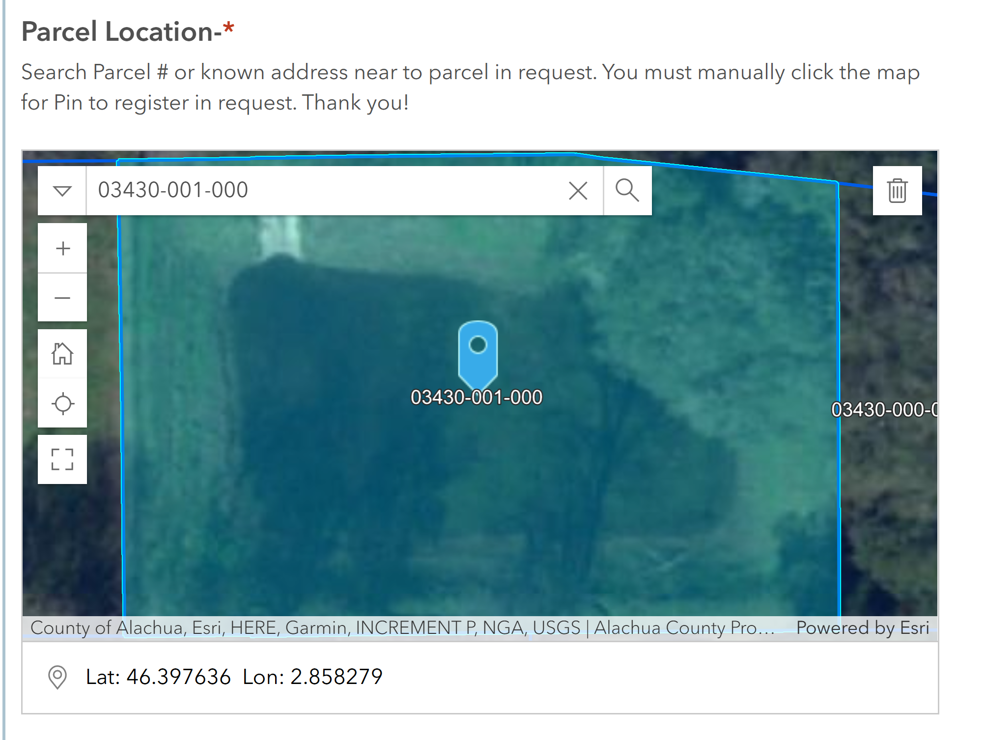
I have a parcel layer within my interactive map to assist submitter in locating requests location. This allows my staff to confirm the correct property is in the request and makes it very easy for us to zoom to the point w/o using a locate tool. The Question is tagged as required. However, submitters are seeing the map zoom to the location and a "pin" is present and they are not manually clicking the pin to create the georeferenced point. This was not happening prior to the May 9th update to survey. Essentially, even though the question is required, the submissions are coming through without the data. Why? Any thoughts on forcing the constraint in some manner beyond just "required". I have updated the question to say you must manually click... but you know how that goes. Thanks for any recommendation's.