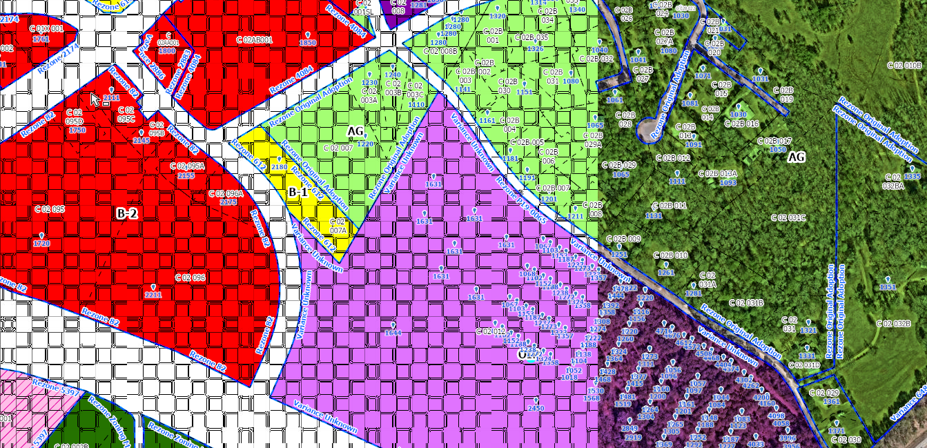
We purchased 3 inch pixel resolution aerial imager for our county this year. I have loaded it into a mosaic dataset and it works well at first. However I have noticed that after the map has been open for some time, the imagery performance seems to get worse. It will occasionally glitch out and only a portion of the imager will show. Sometimes the imagery will show up, but it will be with a reddish hue. Things like that. Usually you can fix the glitch by zooming in or out or panning the screen. But eventually the imagery will stop drawing in altogether until ArcGIS Pro is restarted. It's very annoying to constantly have to restart pro. Any ideas what the problem could be?
Some general info, the uncompressed data is about 500GB. It is stored in a mosaic dataset that is on an enterprise geodatabase on a pretty beefy GIS server. I don't have the exact specs for the server, however. My PC is also pretty powerful. It has 32GB of RAM as well as a dedicated Nvidia GPU. So I don't really believe it to be a hardware issue. I've rebuilt it from scratch several times and always get the same issue.
Screenshot of the issue: