Hello everyone! I'm working with a geodatabase that consists of many tables linked together with relationship classes. I would like to export a diagram that shows the tables how they are related, something like this:
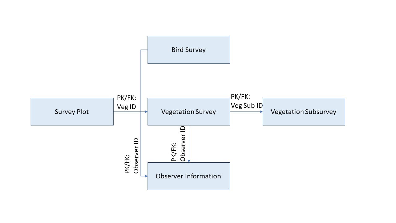
Having it export the exact connections would have the added benefit of helping me ensure I have all of the relationship classes I need. I've looked into ArcGIS Knowledge, and am looking into network diagrams, but I would be hugely grateful if anyone has any pointers for how to do this.

