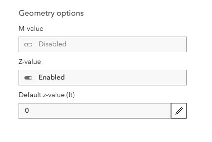
We have several web maps setup for data collection through field maps. We noticed while bringing data back into Civil 3D that the Z value units were different on several data sets.
After digging, we found that the units on the Z value in a handful of the feature layers had somehow changed to feet rather than meters.
Our understanding is this cant be changed in AGOL, but we're looking for a way to change the units back to Meters without losing all of our visualization settings.