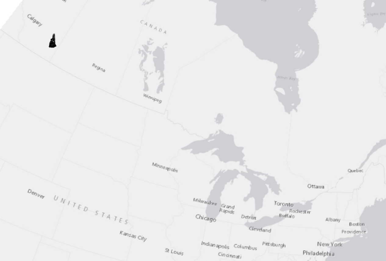
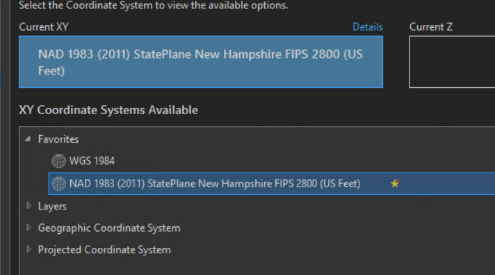
As you can see in the 1st pic, our NH data is plotting in Calgary. We are currently transitioning from traditional to branch versioned data and plotted everything in NAD 1983 NH-2011. All the data in our EGDB is in NH State Plain, the map is set, I've rechecked everything several times, but yet the data is still plotting 3000 miles away. We're only interested in our data so, in general, this won't be a large area we cover.
Anyone see any simple fixes or perhaps should we try another coordinate system? I would be happy to provide additional details.