I've set up a geofence in Field Maps so location tracking takes place only within the project area (red boundary). As you can see here there are tracks points getting collected outside the boundary. Do you know why that is?
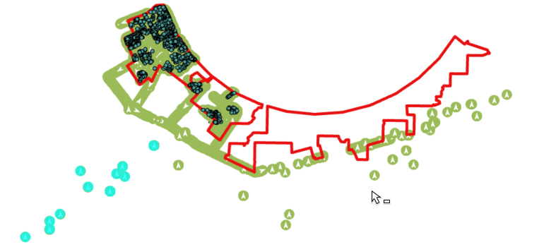
Some context this area is at the foot of a huge mountain so potentially it could be a gps issue? It is happening throughout the day, not just at a specific time. It is happening to all team members, not one person or particular device.
Altitude - 300ish
Battery State - Unplugged
Horizontal Accuracy - 3900 mostly
Signal Strength - not populated
Vertical Accuracy - Mostly single digits


