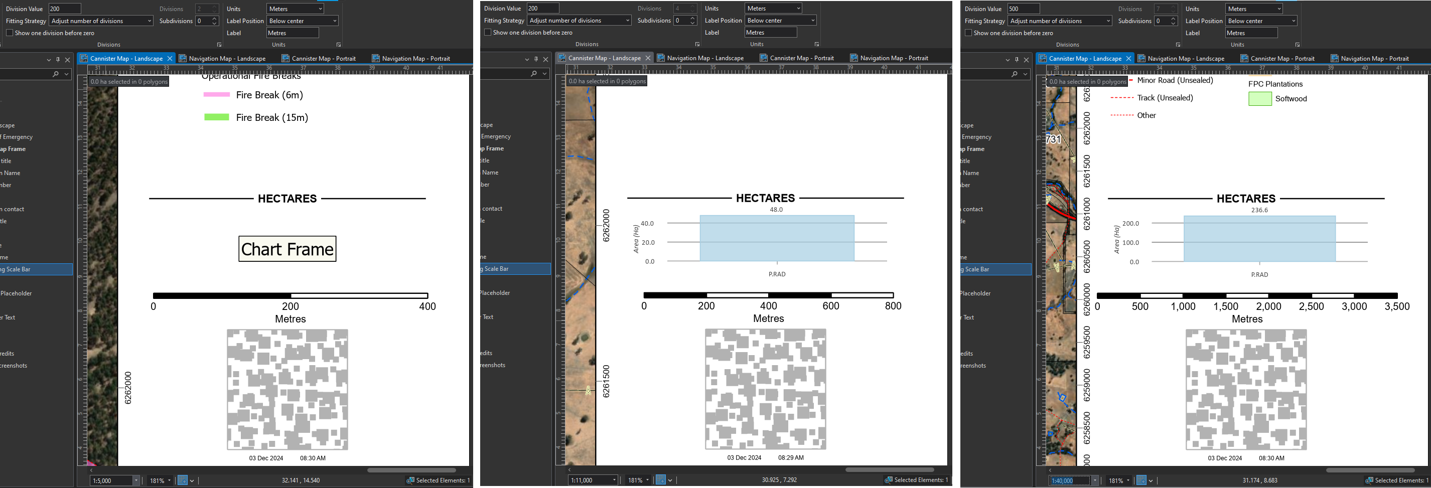
In ArcGIS Pro, when setting up scale bars, you have the following options available:
Fitting strategy Description
| Adjust division value | Preserves the number of divisions and tries to preserve the scale bar width by adjusting the division value. Manual resizing of the scale bar is allowed. |
| Adjust number of divisions | Preserves the division value and tries to preserve the scale bar width by adjusting the number of divisions. Manual resizing of the scale bar is allowed. |
| Adjust divisions and division value | Preserves the number of subdivisions and tries to preserve the scale bar width by adjusting the number of divisions first then the division values. Manual resizing of the scale bar is allowed. |
| Adjust width | Preserves the division value and number of divisions, and adjusts the scale bar width if the map scale changes. Manual resizing of the scale bar is not allowed. |
| Fixed bar width | Allows you to set the width of the bar in page units using the Scale Bar Width box. This width does not include other parts of the scale bar such as numbers and unit labels. The scale bar width is preserved and the numeric values update to reflect the scale. Manual resizing of the scale bar is not allowed. |
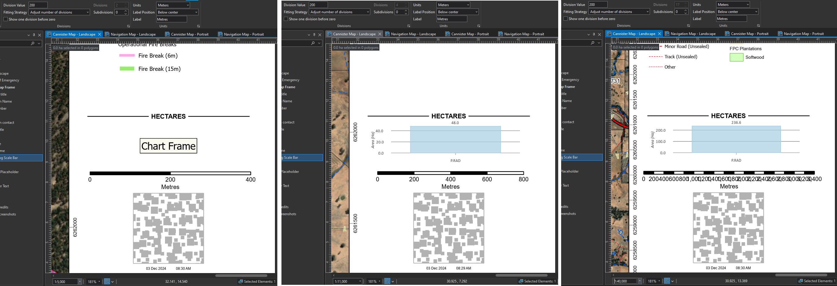
The problem I find is that many of our maps have such variable scales, that no single existing setting gives a nice outcome all the time (typically when using a Map Series). Some examples below show how the scale bar responds at different scales based on the Fitting Strategy selected.
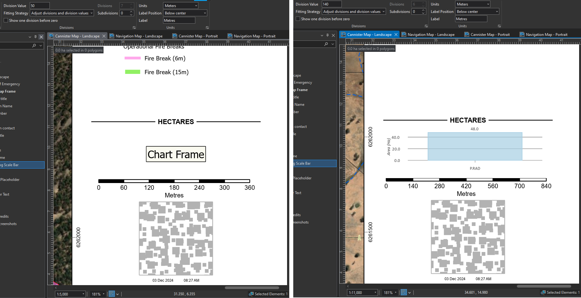
Adjust divisions and division values
Adjust number of divisions (my preferred option for a nice looking scale bar)
IDEA: When using "Adjust division values" or "Adjust divisions and division values", allow the option to round intervals to a user specified value (e.g. nearest 10, 50, 100, 200, 500, 1000, 5000, etc) AND/OR allow the user to create specific interval values (in a list) for the scale bar to use at different scales (in a similar way to the way the map scales can be customised as per the below screenshot)
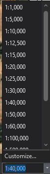
Having this level of control would mean that regardless of my map scale (1:5,000 or 1:40,000), my scale bar will present nicely configured division intervals and will still fit within the specified space on the layout (fixed width).
With this sort of function, I could generate maps that look like the below instead of the above.