Hello,
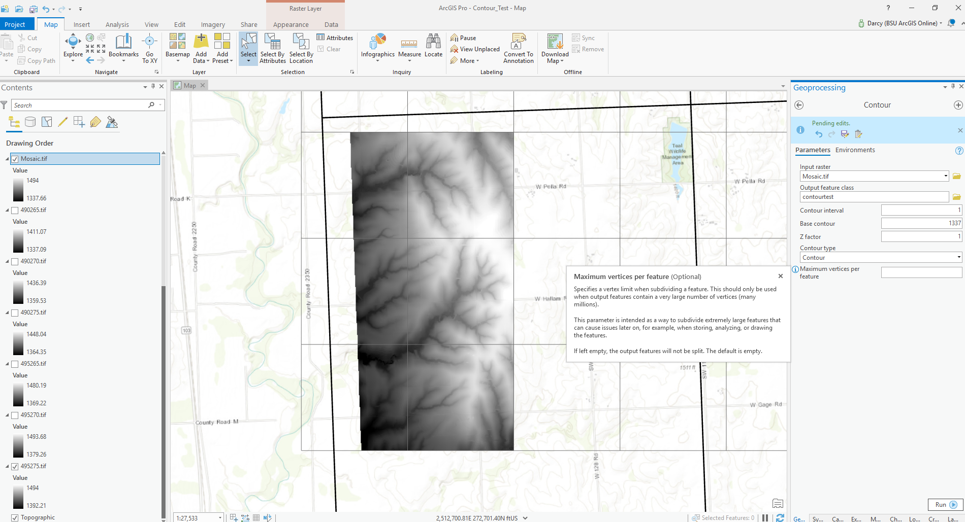
I'm trying to create a 1 ft contour feature class from a (mosaiked) tif file. This data was created from LiDAR.
How would you recommend setting the max vertices in the contour tool? I want to retain as much detail as possible, but also not so much detail that displaying later on will be an issue. Eventually these files will be tiled by qquad area (shown in the bold line).
Thank you for any ideas
Darcy