Hi community!
I'm quite new to dealing with rasters (always used shapefiles etc) and struggling a little dealing with some data. Any help would be greatly appreciated!
I was given a project by another colleague who has taken off, and what I need is to add a new layer that is currently a TIF to a Web Mapping Application. Already the application has TIF files to represent different data as Map Image Layers.
I have a TIF file that looks like this in ArcPRO - Lighter colour representing light forest, and darker representing heavier areas. There is a value chart in the layers that shows the values 1-9 (light to dark).
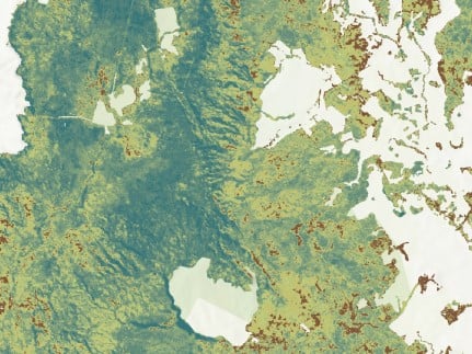
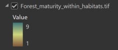
So, I made the layer as a package to share to ArcGIS online so I could have the raster visible in the application. This brought it in as a Tile Layer (Hosted) (see below), and when I add this layer to the application, I only get the RGB information for the layer, whereas I need the colour band/value as I had in ArcPRO so users can see a better legend representing the lows to highs.

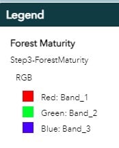
This is the details of a different TIF layer in the application that shows the values represented by the different colours. This layer is also a Map Image Layer in my content. This is what I need for the maturity forest layer.
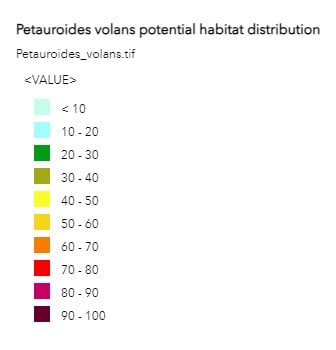
So, does anyone know what steps I need to undertake (whether it starts in Pro through to Arc Online) to have my new TIF raster made into a Map Image Layer in Arc Online that shows the values in the application?
Thanks in advance to anyone who can help 🙂
Matt


