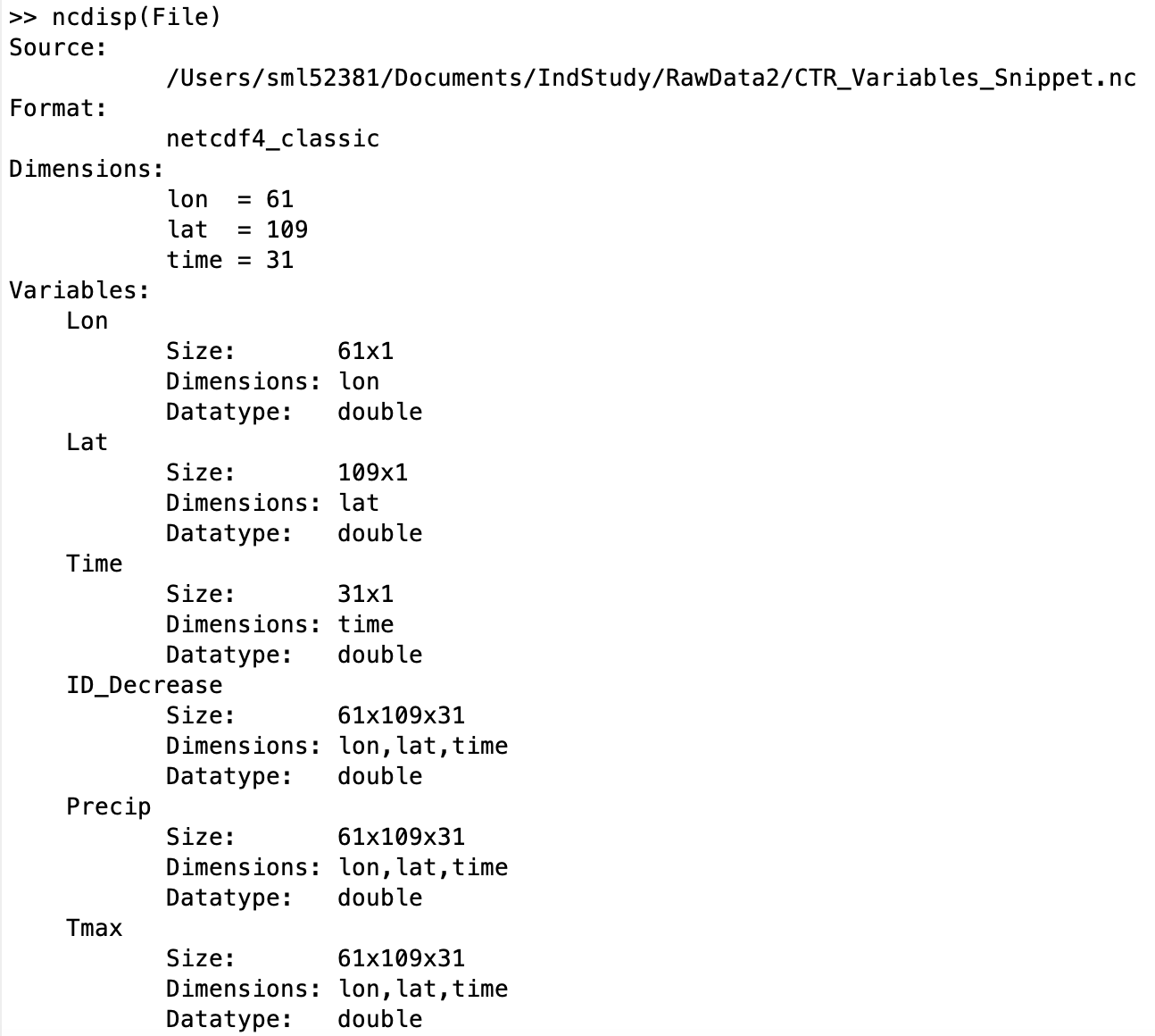
I have tried importing a netCDF file into ArcGIS and ArcMap and cannot seem to get it to project correctly. I have tried following different guides but to no avail. Here is a screenshot of the variables in the dataset. Any assistance/guidance is greatly appreciated.
have you been using one of the multidimensional tools to produce a format that can be projected?
your long/lat must be in some datum (eg wgs84 etc) and if you need it in projected coordinates work with a more useful format for Pro
An overview of the Multidimension toolbox—ArcGIS Pro | Documentation
Signed in members can post, follow updates, and more. New here? Register a free account.
Find useful guides, FAQs, and documents to help you navigate and make the most of Esri Community.