Hi everyone!
I'm trying to figure out how to create cross-sections within ArcGIS Pro. I'm hoping someone can help??
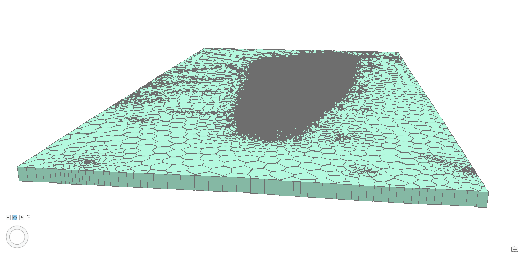
I have imported my model into ArcGIS Pro in the form of extruded polygons that look like this and contain an attribute column for its top elevation, and another column for its base elevation (in m AHD):
I am wondering if anyone knows how I can do the following?
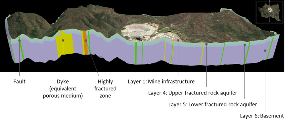
- How to drape a world imagery to the top of the model? (see example below)
- How to create a sectional view? (see example below)
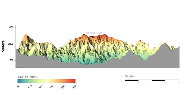
- How to create a scale for the z axis? (see example below)
Any help would be greatly appreciated!!
Thanks!
Kris.



