Hello, I am very green with ArcGIS Pro so I hope this is the correct place to ask. I would like to do some slope analysis on data I have downloaded from the HiRISE website (specifically this: https://www.uahirise.org/ESP_016671_1615). However when I run slope analysis on the JP2 file I download it comes out as a massive blob of colours. I've read that I would need to convert the .IMG file to something arc could read but I have no clue how to do this. Would anybody be able to help me?
Thanks 🙂
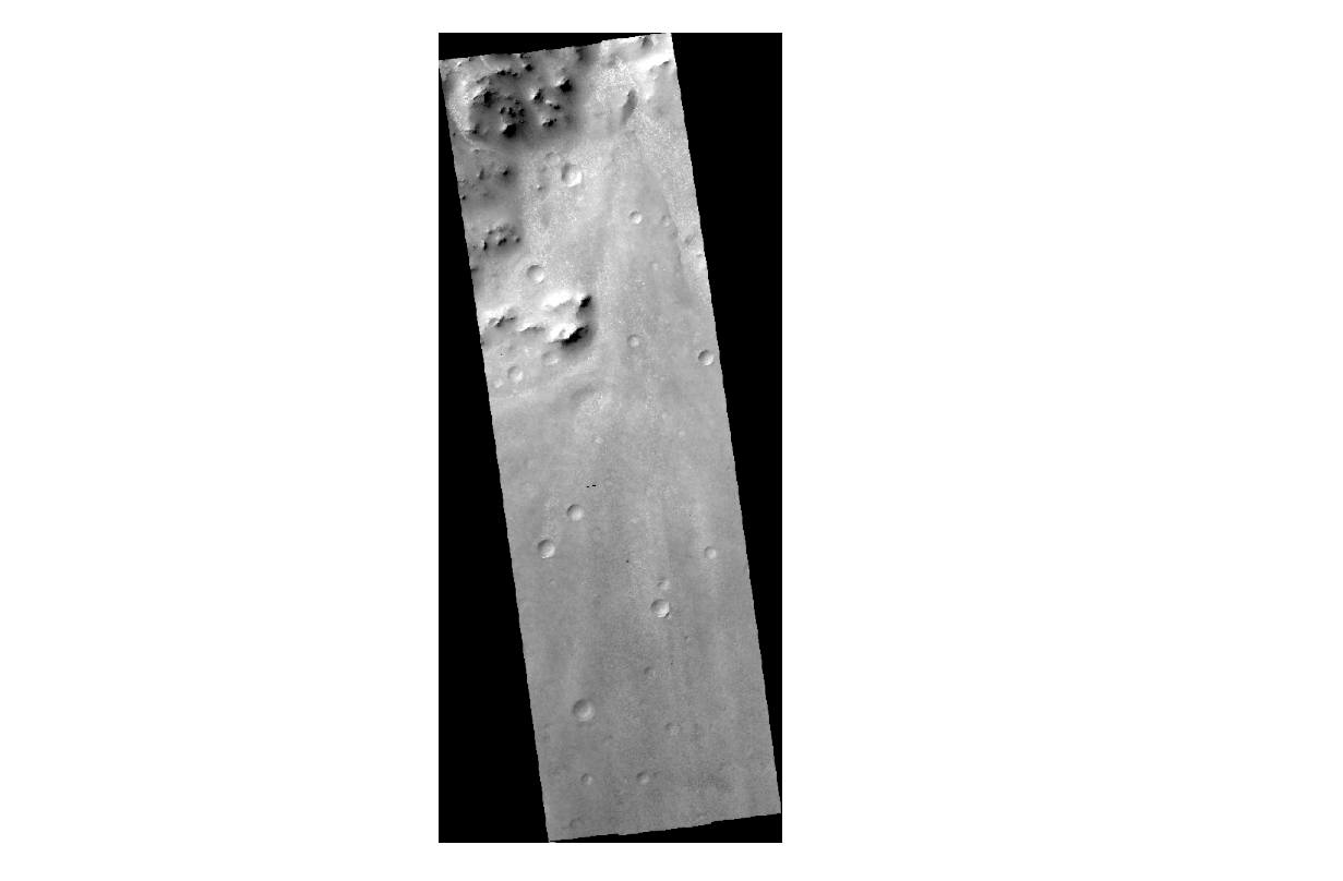

First image is what I have downloaded, seccond is... the blob

