Hi all, I'm having issues when I to use the split tool.
I want to split the polygon with the enclosed lines below (the dark blue).
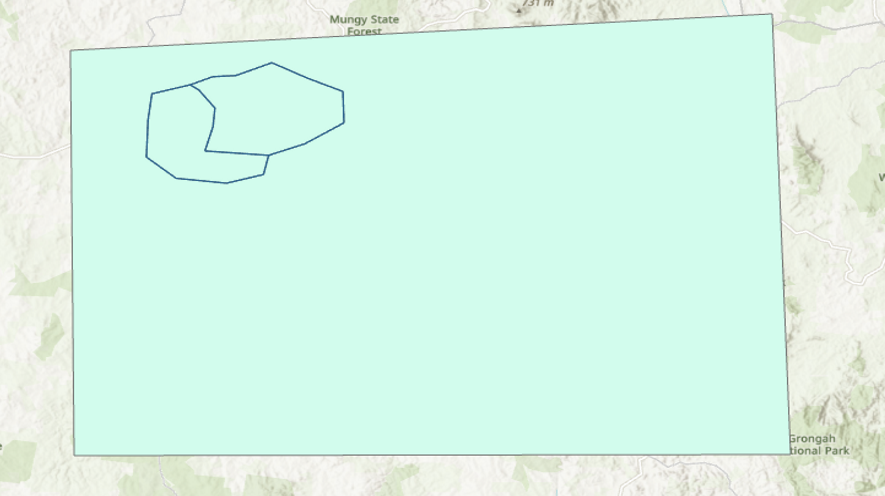
However, after a successful split, my topology I had created had identified a gap between the line and where the polygon was actually split, so I zoomed in there is a difference between where the line is and where the polygons have split:
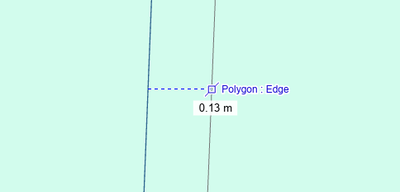
Yes I's a very small difference, 0.13m, but my topology rules pick it up (Boundary Must Be Covered By).
I'm in ArcGIS 2.9.5 but I have tested in 3.1 and the same thing happens.
Both the map and these shapefiles are in the same coordinate system, GDA2020.
Is there anything I'm missing / could be doing to correct this?



