Hi all,
I am working on a project using ADA ramps in a city with point data and a series of polygon data representing different equity zones, land use, etc within the metropolitan area.
With the land use feature class, I have a variety of land use classifications such as residential, business, and industrial.
So far I have used Model Builder to identify which ramps fall within the boundaries of the different polygon data I am working with.
Now I want to go further in my analysis and identify which ramps are located in proximity to different land use zones for my city, as I want to accomplish this by selecting by attributes (based on land use zones, as shown below) that are within the land use feature class. 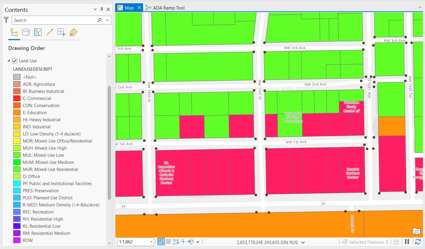
 Current ModelSo far this is what my model looks like, my input feature is the ADA ramps followed by the different parameters that I set to allow me to change my different location criteria, but now I want to identify and use each specific land to identify which ramps correspond to each land use type in the city.




