Hello mapping community,
I've done this type of editing in ArcPro for a while but this is a new issue I’ve encountered recently:
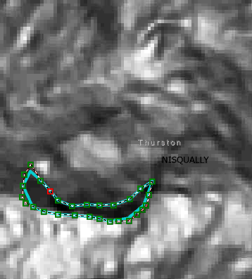
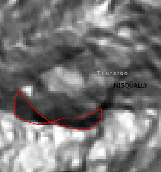
When digitizing a polygon, the vertices automatically snap together when they are nearby. The drawn polygon on the left became the polygon on the right when I finished the sketch. I tried this with snapping on, snapping off and various snapping tolerances. All produced the same result.
I checked the coordinate system for my map and the feature class are in the same projection.
Are there settings that would be causing my polygons to behave this way?
Thanks,
Emilie




