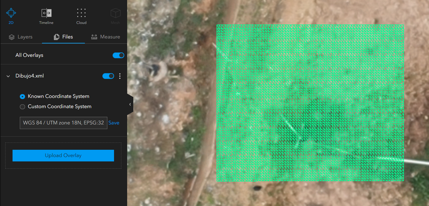
Hi Imagery and Remote Sensing community, I have a question about Site Scan. I am trying to overlay a surface loaded in LandXML format with the elevation products generated in Site Scan as indicated in the Cut/Fill tool documentation (https://support.esri.com/en-us/knowledge-base/how-to-use-cutfill-measurements-in-site-scan-manager-fo-000023065#:~:text=All%20elevated%20areas%20above%20the,including%20construction%20and%20scientific%20analysis. ), however When I load the surface, it appears as follows:
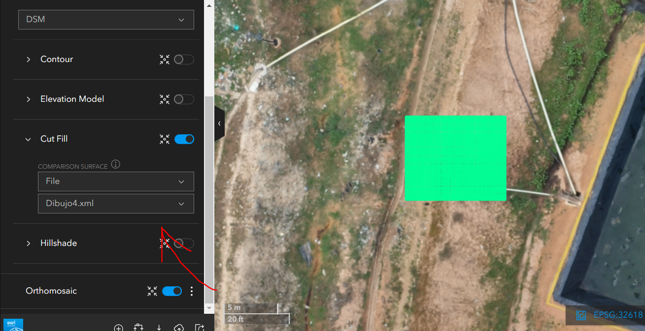
but when selecting it as a comparison surface, it does not allow me to make the intersection using the Cut/Fill tool:
Is there a workflow or can you tell me what characteristics the surface in LandXML format must have to perform the intersection?
Hi @cdanielvarons, We've had occasional reports of challenges with the Cut/Fill functionality in Site Scan when comparing to a LandXML. Please try again, it should be resolved now. Let us know if you encounter this again, preferably on the Site Scan Questions board.
Signed in members can post, follow updates, and more. New here? Register a free account.
Find useful guides, FAQs, and documents to help you navigate and make the most of Esri Community.