ArcGIS Pro 2.6
Hi All- I am stuck with delineating a watershed. I have archydro toolbox downloaded and I use it as much as possible instead of spatial analyst. I have approximately 40 culverts along a 15mile length of road that have been 'burned' into a DEM. I have snapped them to the stream link, and I ensured all streams crossed the road/were nearby the culverts prior to creating the streamlink (number of cells defined at 1500). Catchment, adjoint catchment, drainage line, and drainage points all look to be correct.
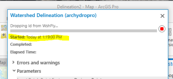
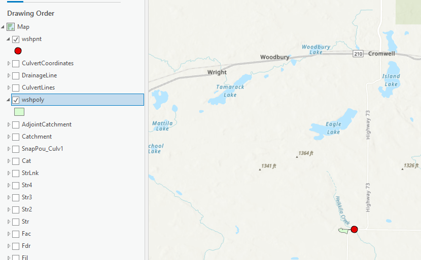
When I use Point Delineator, it chooses a single culvert point and delineates a tiny subwatershed (even smaller than the catchment polygon). When I use Watershed Delineation, it just cycles between "droping id" to "processed 0 features" to "final selection" to "sampling" to "100%" and back. It never finishes, and this has ran for three plus hours with no results.
Does anyone know of a work around, so that I can get an entire watershed, that includes majority of the catchments, but at least the main stream? Do I need to define a larger cell size for a new stream link and then delineate the watershed from that stream? I just need to make sure that all the possible flow is entering the culverts, and I do not want to limit the potential area by creating to large of a stream line.