Hello!
I'm working with ArcMap 10.5 and I have a land cover layer and some circular buffers. I need to know what land covers are inside the buffers, as well as calculate the area of those separetely for each buffer.
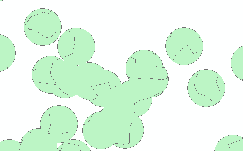
I did a clip of my buffers and land cover layer, but what I obtained was a layer where the buffers were merged depending on the land cover.
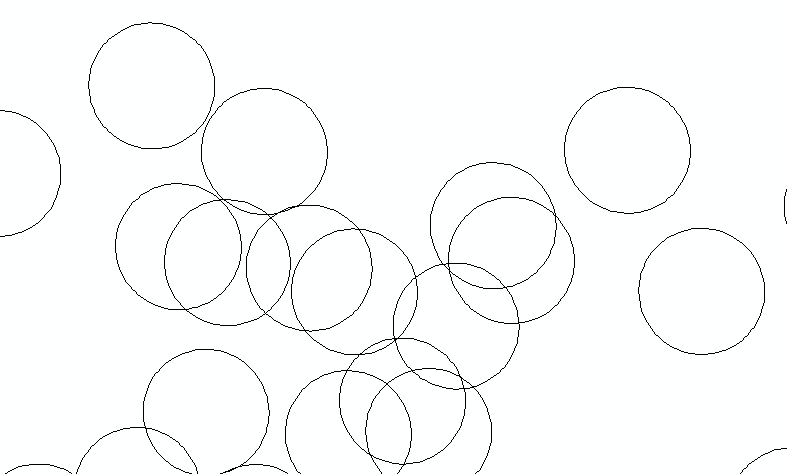
These are the buffers
This is the clip I did. As you can see the buffers that overlaped are now merged. I want them to be separated features so I can calculate the area for each one of them. I will take care of the double sums later.
Thanks I hope I was clear.
Actually, somene had a similar problem I think (https://community.esri.com/t5/geoprocessing-questions/clip-overlapping-polygons-individually-to/m-p/1210321#M26454). They solved with with python code for pro and it did not work for me.

