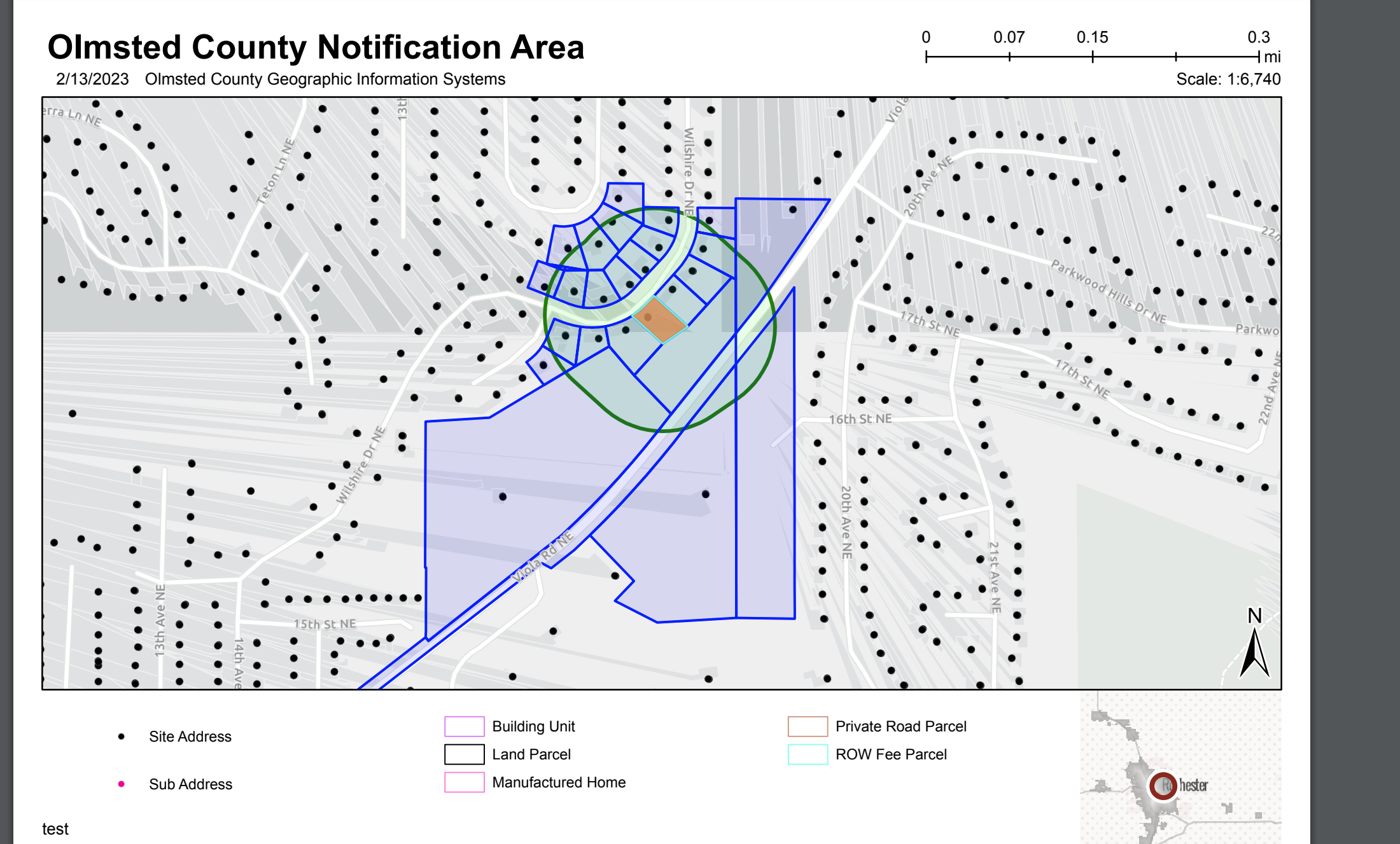
In WAB, using Print widget, with a custom Printing Tool...
the vector tile layer Esri Basemaps (except Imagery or Imagery with Labels) are causing really weird distortions with building outlines when printing the web map. Sometimes the roads disappear entirely. Does any one know how to fix this?? It's like it's trying to be 3D or something. The other layers in the web map all are simple points and polygons (parcels and addresses)... nothing crazy. No group layers or anything, just feature services we serve out on our stand alone arcgis server, brought in as items to AGOL.
It doesn't do it with our custom basemap... however ours isn't very good looking yet so was hoping to use the Esri basemaps. I don't see the distortion with the default printing tool, but both do remove non-selected parcels which is sad as well.