I took a LiDAR DEM and re-projected it from VT State Plane Meters to US ft. Then I converted the elevation attributes from meters to feet by multiplying by 3.28....
When I compare the Meters raster to the US ft raster, there is a weird pattern visible. The first screenshot has a bit of a checker-board pattern. The second (original), looks a lot smoother.
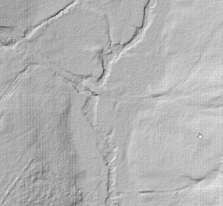
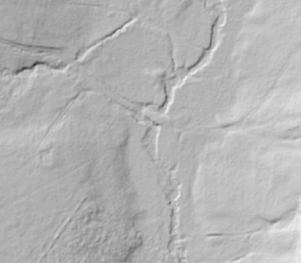
Is this an issue, or more of a graphical thing? The pixel size is the same for both (0.7m from the original DEM), but I'm not sure how that might have changed when I re-projected it. Should I have re-sampled and changed the pixel size?
lastly, If I'm merging this raster with topo-bathymetry data (TIN to raster), do the pixel sizes need to all be the same? Do I need to set the TIN to raster pixel size at 0.7?
Thanks!

