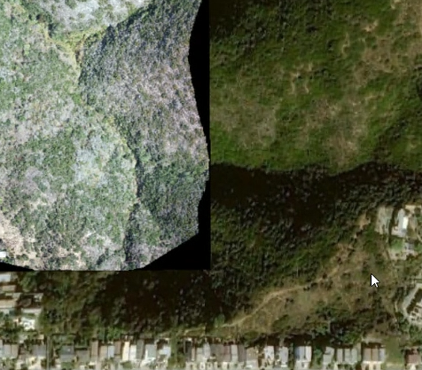
We have some drone imagery in TIFF format that we published to Enterprise from Pro and then shared to ArcGIS Online through a distributed collaboration. In the map viewer, the zero-value areas around the periphery of the drone imagery display as solid black areas.
In Pro, we can make the map display the zero values in the raster as transparent so that we can see the underlying basemap. Is it possible to do this in ArcGIS Online as well?
Thanks in advance!




