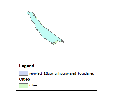
Hello all,
Like the title says, my data will not line up after reprojecting into the coordinate system I am trying to match with another.
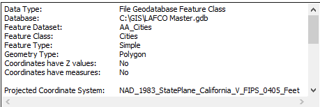
I have an existing layer called AA_Cities and a newly downloaded shapefile called LA_County_Boundaries2022.
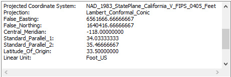
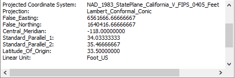
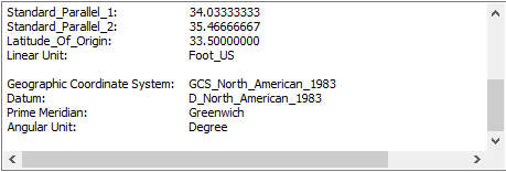
AA_Cities is currently in NAD_1983_StatePlane_California_VFIPS_0405_Feet.
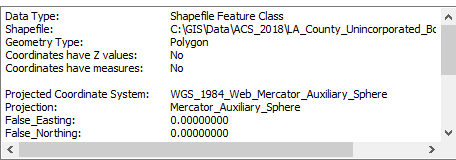
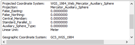
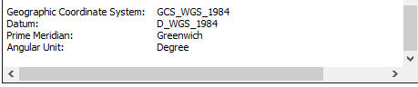
LA_County_Boundaries2022 is being reprojected from WGS_1984_Web_Mercator_Auxiliary_Sphere to NAD_1983_StatePlane_California_VFIPS_0405_Feet.
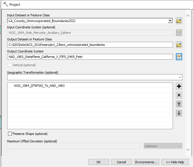
CITIES (existing)

LA County Unincorporated Boundaries 2022 (downloaded shapefile)
Reproject_22laco_unincorporated_boundaries (Reprojected Layer)
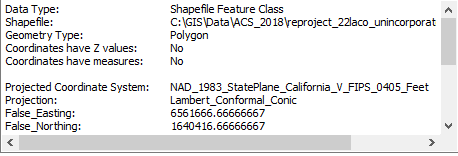
Data Not Lining Up