Greetings!
My teacher gave me a task and it sounds like this: there are several points with the attribute "Ф". The point with the smallest value of this attribute takes on the smallest size; with the largest - the largest size. Dot size changes should be displayed on the legend.
I ran into 2 problems while doing this.
1) Standard point size.
I'm using archmap version 10.8. I created a point and gave it a size of 20. After deleting it and returning it back to the archmap project, it takes the default size of 4. Is there any way to fix this?
2) Changing the point size.
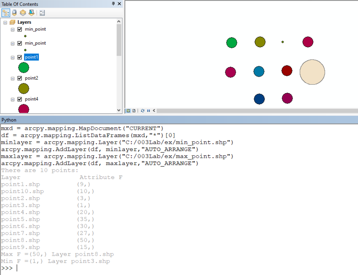
I decided to do the task with Python, but I couldn't find a method that changes the point size. The only thing I could find is the Symbol class, which, if I understand correctly, is available only for ArcGIS pro 2.8 and 2.9. Since I could not find a suitable method, I replaced the desired point with a polygon, but this is not correct.
I am attaching 2 screenshots: input data (+ attribute table for one of the points) and the result.