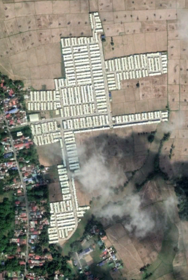
Happy 2022 ya'll,
I'm currently using ArcGIS 10.7.1. I resorted to downloading a satellite imagery layer file from ArcGIS Online since I mostly work offline. Problem is after comparing with GoogleEarthPro, the layer file doesn't seem to be updated (see pictures for reference). I was wondering if ya'll know how to access/produce an updated layer file? Wanted to avoid having to individually download LANDSAT images or georeference snapshots from GEarth. Thanks in advance.