With the ArcGIS API for JavaScript, high-performance 2D and 3D web mapping apps can be created. The new version 4.22 does not have a specific thematic focus this time; many improvements and cool new features have been implemented in various areas. Here is an excerpt of the new features:
- Performance:
- Feature Layers with polygons have up to 50% reduced memory consumption, which helps on lower-performance devices
- Visualization and Effects
- With the new AnimatedFlowRenderer (beta), flow direction and magnitude information can be visualized in oceanographic raster data
- With Voxel Layers (also beta), multidimensional spatial and temporal information can be represented as 3D volumes, e.g., space-time Cubes
- Weather effects in 3D Scenes can be made more realistic (rainy, foggy, etc.), check out this demo!
- Many new Color Ramps for visualizations, including well over 100 that accommodate colorblind users
- Labels on polygons have been improved
- and much more
- Widgets, Popups, and Bookmarks
- New Utility Network Tracing Widget
- Search Widget prioritizes found candidates based on their distance from the center of the map starting at a certain scale
- Smarter, faster, & flexible Popups – a lot has been done here
- The Bookmark Widget now supports time, e.g., to jump between different time frames
- Improved implementation of GeoJSON, CSV, and GeoRSS, e.g., controlled updates and custom parameters
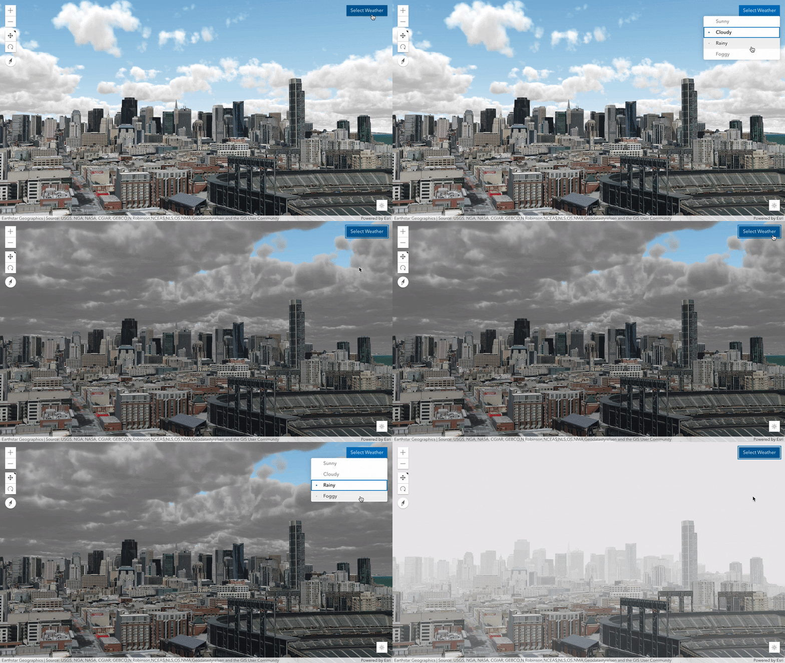
Weather effects in 3D Scenes
Complete information about the new version can be found in this Esri Blog and in the release notes for Version 4.22.
