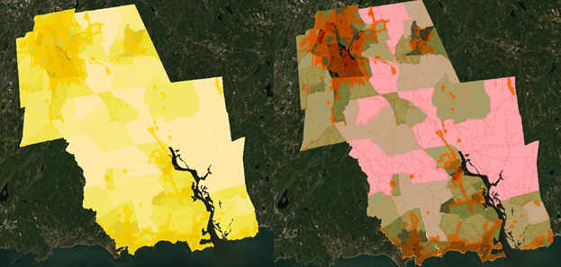
I have a series of raster images that have a very specific color breakdown. However the online map viewer appears to apply a stretch type when displaying the layer. The map on the left is how the layer should look, and the one on the right is how its is displayed once hosted. Is there a way to stop this automatic transformation?